|
The major acquisitions of territory by the United States of America.
 |
Background Information
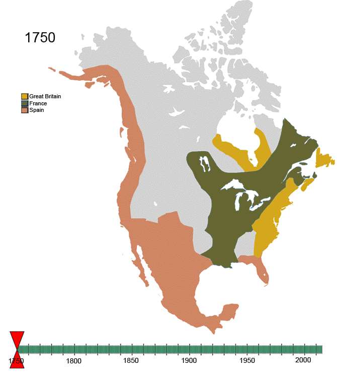
When the American Revolution officially ended with the 1783 Treaty of Paris, Great Britain ceded the area of the thirteen original colonies to the new nation of the United States of America. Over the course of the next 134 years, the United States gradually added territory, through purchase, treaties, and as the result of wars, until in 1917 it reached the size it is today.
The Territorial Acquisitions of the United States map layer shows the major acquisitions of territory by the United States, including areas that were part of the United States at one time but which have since been ceded to other countries. Descriptive information includes the name of the area, the data when it was acquired, and additional brief notes about the acquisition. This map layer was compiled by the National Atlas of the United States®.
Only areas in North America, the Caribbean, and Hawaii are included in the Territorial Acquisitions map layer; the United States also includes additional territories that are not shown. The following areas are or have been territories of the United States:
- American Samoa was acquired under the 1899 Treaty of Berlin between Germany, Great Britain, and the United States. The islands are now an unorganized and unincorporated territory of the United States and are administered by the U.S. Department of the Interior, Office of Insular Affairs.
- The Federated States of Micronesia were part of the Trust Territory of the Pacific Islands, but in November 1986 became a fully independent country in free association with the United States. While the country is independent, the United States provides defense and some financial assistance, and in return is allowed military use of the islands.
- Guam became a territory of the United States after the Spanish-American War. Under the December 10, 1898 Treaty of Paris, Spain ceded the island to the United States. Guam was captured by Japan in 1941 but was retaken by the United States in 1944. It became an organized, unincorporated territory of the United States in August, 1950, and is administered by the U.S. Department of the Interior, Office of Insular Affairs.
- The Northern Mariana Islands were part of the Trust Territory of the Pacific Islands, and became a self-governing United States commonwealth in 1986.
- The Republic of the Marshall Islands was part of the Trust Territory of the Pacific Islands, but in November 1986 became a fully independent republic in free association with the United States. While the country is independent, the United States provides defense and some financial assistance, and in return is allowed military use of the islands.
- The Republic of Palau was part of the Trust Territory of the Pacific Islands, but in October 1994 it became a fully independent republic in free association with the United States. While the country is independent, the United States provides defense and some financial assistance, and in return is allowed military use of the islands.
- The minor outlying islands which are territories of the United States include Midway Atoll (acquired in 1867), Palmyra Atoll (acquired in 1898, with Hawaii), Wake Atoll (acquired in 1899), Baker Island and Howland Island (acquired in 1857), Jarvis Island (acquired in 1858), Johnston Atoll (acquired in 1858), Kingman Reef (acquired in 1922), and Navassa Island (acquired in 1857).
- The Philippines became a territory of the United States after the Spanish-American War. Under the December 10, 1898 Treaty of Paris, Spain ceded the islands to the United States for $20 million. In 1935 the Philippines became a self-governing commonwealth. Japan took over the country from 1942-1944, but the United States regained the islands in 1945, and full independence was granted in July, 1946.
|
|
1783-1853
The
1783 Treaty of Paris with Great Britain defined the original borders of the United States. Due to ambiguities in the treaty, the ownership of
Machias Seal Island and
North Rock remains disputed between the U.S. and Canada; other original territorial ambiguities (including the
Northeastern Boundary Dispute and the disputed
Indian Stream territory) were resolved by the
Webster-Ashburton Treaty in 1842.

Census Bureau map depicting territorial acquisitions and dates of statehood, probably created in the 1970s or thereabouts

A government map, probably created in the mid-20th century, that depicts a simplified history of territorial acquisitions within the continental United States

National Atlas map (circa 2005) depicting territorial acquisitions.
Since 1853

Today's United States Minor Outlying Islands excluding Caribbean
Source:
United States territorial acquisitions